FGDs on Harmonizing Policies on MMFR AHP related to Energy Development and Sustainable Forestry
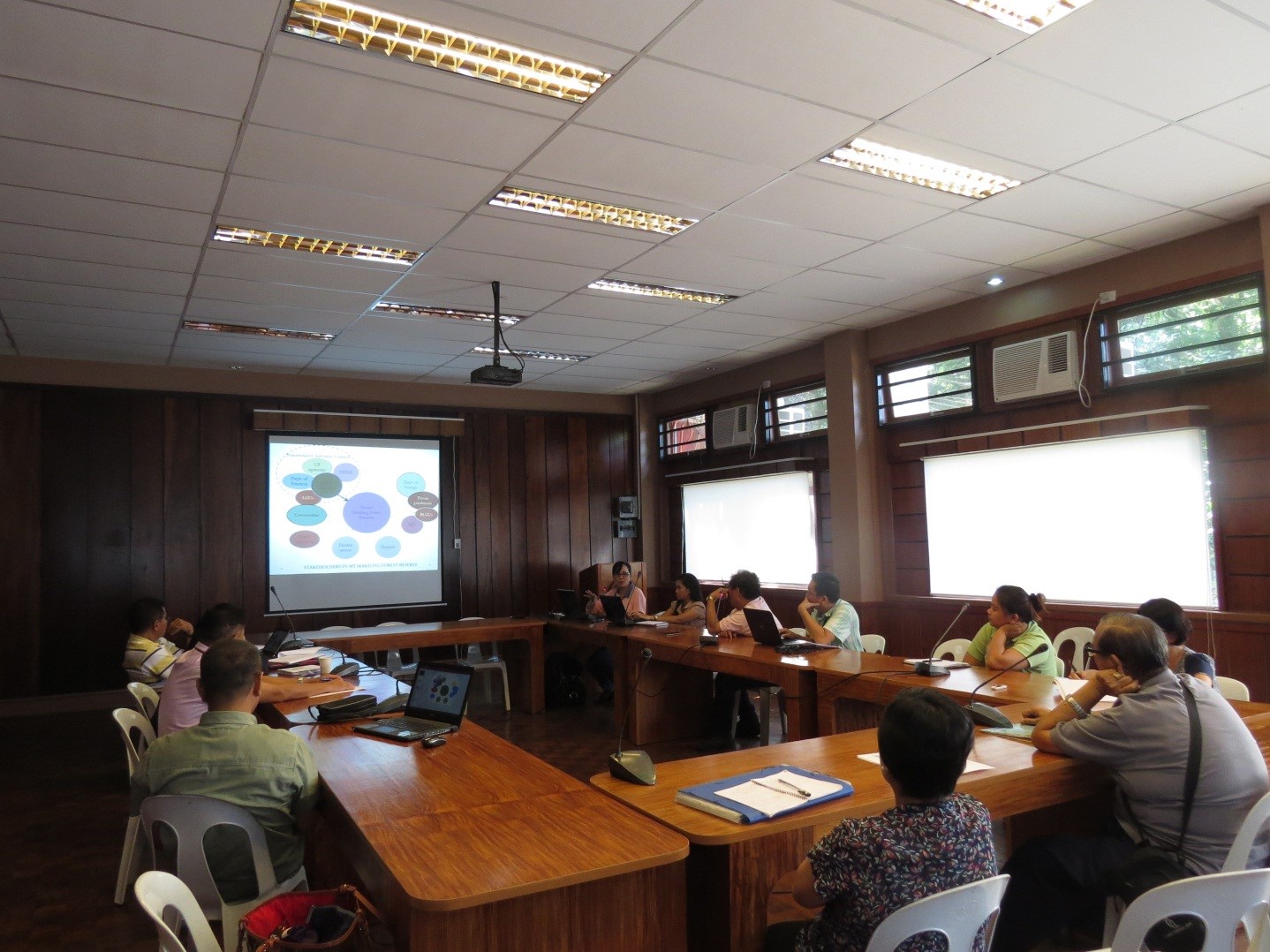
Two focus group discussions (FGD) were conducted on 1 and 15 July 2016 at the F. L. Rola Room in the College of Forestry and Natural Resources (CFNR). The FGDs were sponsored by the Makiling Center for Mountain Ecosystems (MCME) and the Forestry Development Center (FDC). The FGD is an …